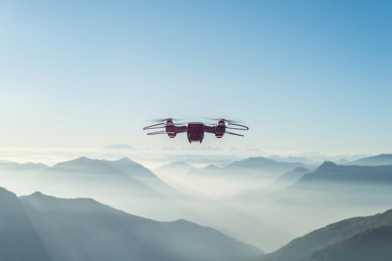
Mapping, modeling, and aerial intelligence for infrastructure, construction, and commercial projects. From orthomosaics to full 3D reconstructions — we turn airspace into actionable data.
End-to-end aerial data solutions — from flight planning and capture to processing and deliverable generation.
High-resolution, georeferenced orthomosaic maps stitched from hundreds of aerial images. Survey-grade accuracy for site documentation and analysis.
Photogrammetric 3D reconstructions of structures, terrain, and job sites. Interactive models for visualization, measurement, and stakeholder review.
Digital Surface Models and Digital Terrain Models for elevation analysis, volumetric calculations, grading verification, and terrain planning.
Close-range visual inspection of rooftops, towers, bridges, and infrastructure assets. Reduce risk and cost versus traditional methods.
FAA compliance consulting, airspace authorization, flight operations manuals, and regulatory documentation to keep your operations legal and audit-ready.
Strategic guidance on integrating drone programs into your operations — equipment selection, workflow design, data pipeline setup, and team training.
Proven experience across sectors that demand precision, safety, and reliable data.
Progress monitoring, site surveys, volumetric analysis, and as-built documentation throughout the project lifecycle.
Bridge inspection, road corridor mapping, utility surveys, and asset condition assessments for public and private infrastructure.
Property documentation, roof inspections, marketing aerials, and site analysis for commercial real estate and development.